The City of St. Albert has launched a brand-new online emergency preparedness map.
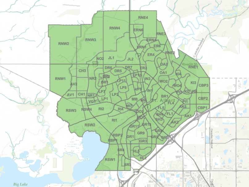
This map was created to help residents prepare for evacuations, shelter-in-place, and other emergencies, with the map dividing the city into 153 zones.
These zones are colour coded based on the actions that residents should take in relation to an ongoing emergency. Green means that there is no emergency, while yellow means that a shelter-in-place is in effect.
As for orange, this means that residents should begin preparing for an evacuation, while red means that residents should evacuate immediately.
The city is asking residents to look over the map and become familiar with it, especially in the zones that they live, work, and go to school.
This interactive map has been in the works for half a year, with the map available on the City of St. Albert website.
This map was launched just as the provincial government began giving weekly updates on wildfires in the province, with 48 wildfires active across the Alberta right now.