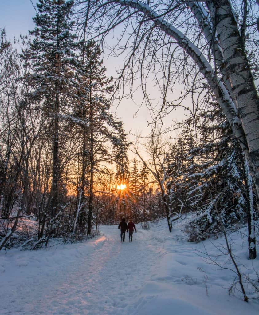
The bad news: dig out the shovel. The good news: you’ll have to shovel only a few centimetres of snow. The daytime highs will still be well below normal for Saturday and Sunday, but take a look at next week: above freezing for next week, except Wednesday. Maybe we’ll have a brown Christmas after all. I doubt it, but we can certainly enjoy the above normal temperatures.
Today Snow. Amount 2 to 4 cm. Wind up to 15 km/h. Temperature steady near minus 17. Wind chill near minus 24.
Tonight Cloudy with 30 percent chance of flurries this evening then partly cloudy. Wind up to 15 km/h. Low minus 24. Wind chill minus 22 this evening and minus 27 overnight.
Sun, 1 Dec A mix of sun and cloud. Wind up to 15 km/h. High minus 17. Wind chill minus 29 in the morning nd minus 22 in the afternoon. Risk of frostbite. UV index 1 or low.
Night Cloudy. Low minus 17.
Mon, 2 Deca Cloudy. High plus 2.
Night Cloudy periods. Low plus 1.
Tue, 3 Dec A mix of sun and cloud. High 8.
Night Periods of rain or snow. Low minus 9.
Wed, 4 Dec Snow. High minus 7.
Night Cloudy periods. Low minus 7.
Thu, 5 Dec A mix of sun and cloud. High plus 3.
Night Cloudy periods. Low minus 5.
Fri, 6 Dec A mix of sun and cloud. High plus 2.