Welcome to spring! I don’t know about you, but I think it was a short winter this year.
If only.
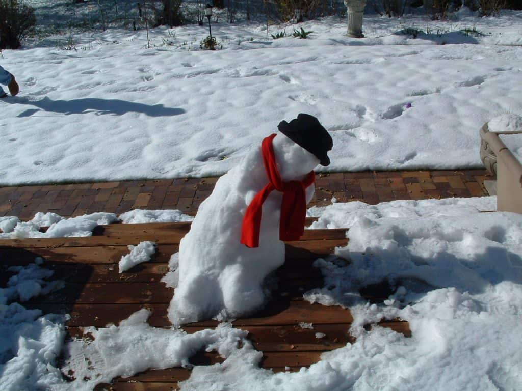
At 5:00am, it was FOUR degrees. We’ll hit our high of 6 by sunrise, then hover there until about noon, when the temperature starts dropping throughout the afternoon and the probability of snow rises. Expect the snow to start later in the evening with light accumulation overnight into Wednesday morning. Watch out as the snow changes to ice pellets Wednesday afternoon, as roads could get slippery. The end of the week and weekend bring more above freezing temperatures, much to your snowman’s chagrin.
Today A mix of sun and cloud. 30 percent chance of flurries late this afternoon. Wind west 20 km/h gusting to 40. High 6. Wind chill minus 7 this afternoon. UV index 1 or low.
Tonight Cloudy. 30 percent chance of flurries early this evening. Snow beginning this evening. Amount 2 cm. Wind up to 15 km/h. Low minus 12. Wind chill minus 6 this evening and minus 18 overnight.
Wed, 4 Dec Snow changing to periods of ice pellets or snow in the afternoon. Snow and ice pellet amount 2 to 4 cm. Wind up to 15 km/h. High minus 3. Wind chill minus 17 in the morning and minus 10 in the afternoon.
Night Periods of snow. Low minus 3.
Thu, 5 Dec A mix of sun and cloud. High plus 5.
Night Clear. Low zero.
Fri, 6 Dec Cloudy. High plus 4.
Night Clearing. Low plus 1.
Sat, 7 Dec Sunny. High plus 2.
Night Cloudy periods. Low minus 4.
Sun, 8 Dec A mix of sun and cloud. High minus 2.
Night Cloudy periods. Low minus 8.
Mon, 9 Dec A mix of sun and cloud. High minus 2.


