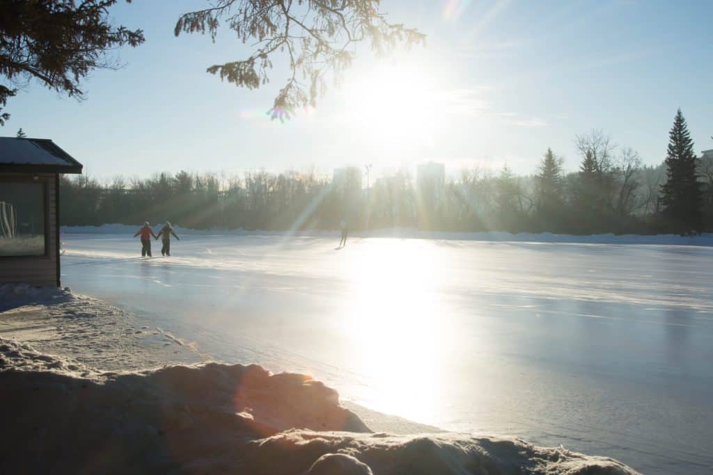
The wind will make it feel bitterly cold for the back half of the week, with today’s high of -18 feeling like -28, and tonight’s low of -27 feeling like a rather frigid -38. Friday isn’t much different, as the ugly overnight windchill hangs around in the morning, leading to a high of -19 and a windchill of -28. The weekend isn’t looking a lot better with highs in the low minus-teens and snow on Saturday. However, I’ll draw your attention to the middle of next week: EIGHT degrees on Wednesday? We can only hope.
Today A mix of sun and cloud with 30 percent chance of flurries. Wind up to 15 km/h. High minus 18. Wind chill near minus 28. Risk of frostbite.
Tonight Partly cloudy. 30 percent chance of flurries early this evening. Wind up to 15 km/h. Low minus 27. Wind chill minus 28 this evening and minus 38 overnight. Risk of frostbite.
Fri, 3 Jan Mainly sunny. Wind up to 15 km/h. High minus 19. Wind chill minus 36 in the morning and minus 28 in the afternoon. Risk of frostbite.
Night Cloudy. Low minus 18.
Sat, 4 Jan Periods of snow. High minus 16.
Night Cloudy periods. Low minus 19.
Sun, 5 Jan A mix of sun and cloud. High minus 18.
Night Cloudy periods. Low minus 22.
Mon, 6 Jan Sunny. High minus 6.
Night Cloudy periods. Low minus 8.
Tue, 7 Jan A mix of sun and cloud. High plus 2.
Night Cloudy periods. Low minus 4.
Wed, 8 Jan A mix of sun and cloud. High 8.