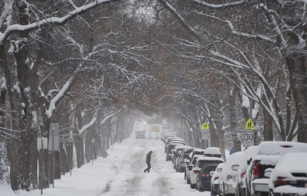
Cloudy skies dominate the forecast, with a chance of flurries developing later in the day. Periods of snow are expected overnight, accompanied by gusty winds that will continue into Thursday. Accumulations could be significant, with up to 15 centimetres expected in some areas before the system moves out. The weekend will bring a return to calmer conditions, with a mix of sun and cloud dominating the outlook. Looking ahead, temperatures will remain chilly, with occasional flurries possible early next week.
Today Mainly cloudy. 30 percent chance of flurries late this morning and this afternoon. Fog patches dissipating this morning. Wind becoming east 20 km/h gusting to 40 this afternoon. High zero. Wind chill minus 9 this morning. UV index 2 or low.
Tonight Periods of snow. Wind east 20 km/h gusting to 40. Low minus 7. Wind chill minus 14 overnight.
Thu, 13 Mar Snow at times heavy. Amount 10 to 15 cm. Wind east 20 km/h gusting to 40 becoming light in the morning. Wind becoming north 20 gusting to 40 in the afternoon. High minus 4. Wind chill minus 14 in the morning and minus 9 in the afternoon.
Night Periods of snow. Low minus 13.
Fri, 14 Mar A mix of sun and cloud. High minus 8.
Night Cloudy periods. Low minus 17.
Sat, 15 Mar Sunny. High minus 8.
Night Clear. Low minus 13.
Sun, 16 Mar Cloudy with 40 percent chance of flurries. High zero.
Night Cloudy with 40 percent chance of flurries. Low minus 9.
Mon, 17 Mar A mix of sun and cloud. High minus 3.
Night Cloudy periods. Low minus 8.
Tue, 18 Mar A mix of sun and cloud. High plus 1.