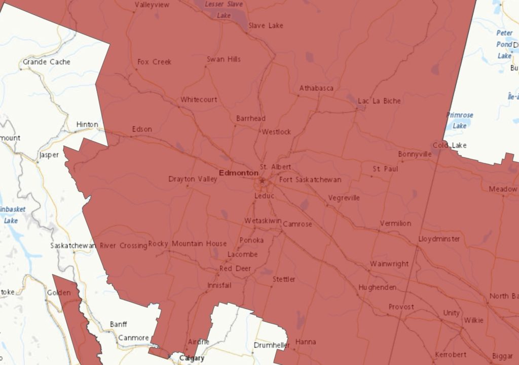
A period of very cold wind chills is expected.
Extremely cold wind chill values between minus 40 and minus 45 are expected to continue this morning.
Wind chill values will moderate by Monday afternoon, although extreme cold wind chills will return tonight for some areas.
Extreme cold puts everyone at risk. Risks are greater for young children, older adults, people with chronic illnesses, people working or exercising outdoors, and those without proper shelter.
Cover up. Frostbite can develop within minutes on exposed skin, especially with wind chill.
To quote Johnny Nash, “it’s gonna be a bright, sun-shiny day” this Monday, but that’s because we’re under the influence of an Arctic high, and that Arctic high is also funnelling in bitterly cold air from Siberia: in Yakutsk, it’s what Sakha would call balmy at -36. The rest of the week doesn’t offer much in the way of relief, as daytime highs will hang around the low minus-teens and into the -20s—a full 15 degrees below normal—and lows tickling the -30s late in the week.
Today Sunny. Wind up to 15 km/h. High minus 15. Wind chill minus 38 this morning and minus 21 this afternoon. Risk of frostbite. UV index 1 or low.
Tonight A few clouds. Increasing cloudiness late this evening then 60 percent chance of flurries overnight. Wind up to 15 km/h. Low minus 18. Wind chill near minus 24.
Tue, 11 Feb A mix of sun and cloud with 60 percent chance of flurries. Wind up to 15 km/h. Temperature falling to minus 22 in the afternoon. Wind chill near minus 26. UV index 1 or low.
Night Clear. Low minus 24.
Wed, 12 Feb A mix of sun and cloud. High minus 19.
Night Periods of snow. Low minus 23.
Thu, 13 Feb A mix of sun and cloud. High minus 20.
Night Cloudy periods. Low minus 25.
Fri, 14 Feb A mix of sun and cloud. High minus 20.
Night Clear. Low minus 29.
Sat, 15 Feb Sunny. High minus 20.
Night Clear. Low minus 25.
Sun, 16 Feb A mix of sun and cloud. High minus 16.