Environment Canada forecasts the temperature will start to warm from an Arctic air mass that broke records at dozens of weather stations in Alberta at various points over the weekend.
“We do have some slightly milder air moving into the province from the West,” said Erin Staunton, a meteorologist with Environment Canada.
Monday’s high is predicted to be about -21°C in Edmonton and surrounding areas, which is expected to occur sometime this evening during a warming trend that will boost temperatures to -13°C by 5 a.m. Tuesday, per the latest forecast. While these temperatures are warmer than they were over the weekend, it will remain colder than the seasonal average of a high of -3°C and a low of -8°C for the Edmonton region.
“It is still somewhat below average for this time of year, but it is certainly a lot warmer than what we’ve been seeing over the last few days,” said Staunton.
In Edmonton, the coldest temperature recorded at the Edmonton Blatchford weather station over the cold snap was -37.7°C, which was recorded Sunday morning. The last time it was colder than that was nearly 52 years ago, on January 26, 1972.
New record daily low temperatures were recorded at several weather stations in the areas surrounding Edmonton. Including a new record daily low of -45.9°C marked Friday morning at the Edmonton International Airport weather station near Leduc; the Stoney Plain weather station recorded a new record daily low of -41°C on Saturday morning; while Elk Island National Park weather station bottomed out at -41.1°C on Saturday.
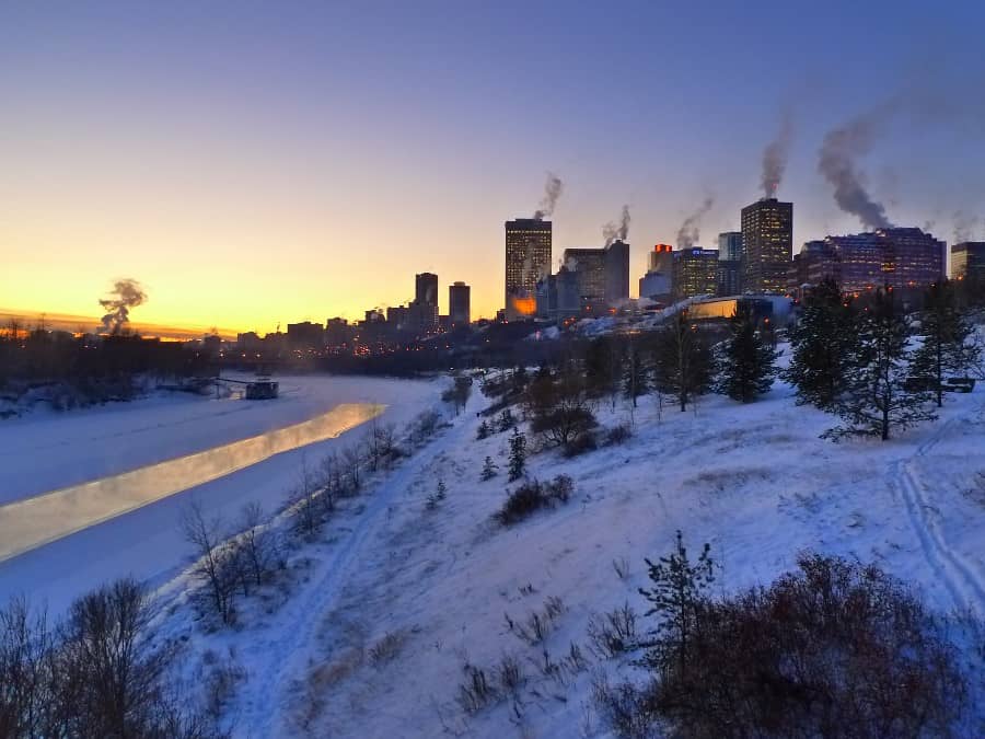
Below: image of a winter scene in Edmonton overlooking the North Saskatchewan River valley and a view of the city skyline in the background, posted to Flickr by user Piero Damiani.


