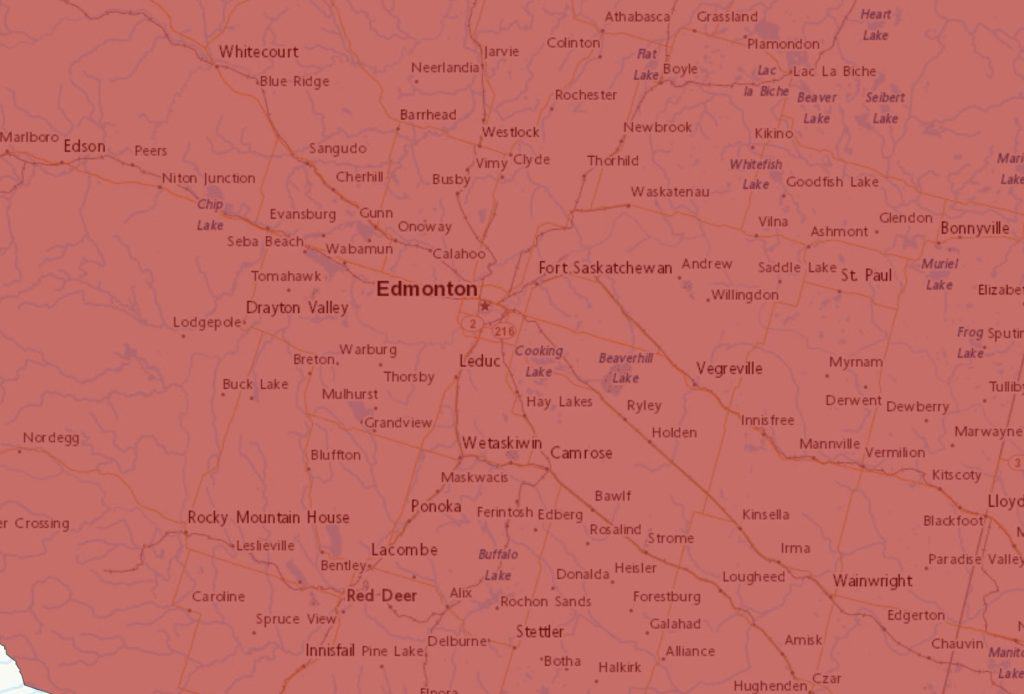
Extremely cold wind chill values near minus 40 are expected or occurring in most of Alberta.
While temperatures will moderate somewhat during the daytime hours, nighttime and early morning wind chills near minus 40 will likely continue for parts of Alberta until the middle of the week.
Watch for cold related symptoms: shortness of breath, chest pain, muscle pain and weakness, numbness and colour change in fingers and toes.
Cover up. Frostbite can develop within minutes on exposed skin, especially with wind chill.
Extreme cold warnings are issued when very cold temperatures or wind chill creates an elevated risk to health such as frost bite and hypothermia.
It’s bitter out there— -29 air temperature that feels like -35—as of time of writing. If your car is parked outdoors and not plugged in, plugging it in now for even an hour will make your car happier…I tell myself after getting in from plugging in MY car. We will get to a high on Monday of only -25, windchill -32: it’ll be a layers, parka, and woolies day today. Tuesday will be similar to today, although the overnight temperature will moderate somewhat from today. Temperatures will rebound during the back half of the week, but will still be into the minus-double digits. Normals for today are -5 and -15.
Mon, 3 Feb Mainly sunny. Wind up to 15 km/h. High minus 25. Wind chill minus 40 in the morning and minus 32 in the afternoon. Frostbite in minutes. UV index 1 or low.
Night Partly cloudy. Wind up to 15 km/h. Low minus 29. Wind chill minus 32 in the evening and minus 37 overnight. Risk of frostbite.
Tue, 4 Feb Cloudy with 60 percent chance of flurries. High minus 23.
Night Cloudy periods. Low minus 25.
Wed, 5 Feb A mix of sun and cloud. High minus 14.
Night Cloudy periods. Low minus 14.
Thu, 6 Feb A mix of sun and cloud. High minus 9.
Night Clear. Low minus 18.
Fri, 7 Feb Sunny. High minus 10.
Night Clear. Low minus 17.
Sat, 8 Feb Sunny. High minus 10.